
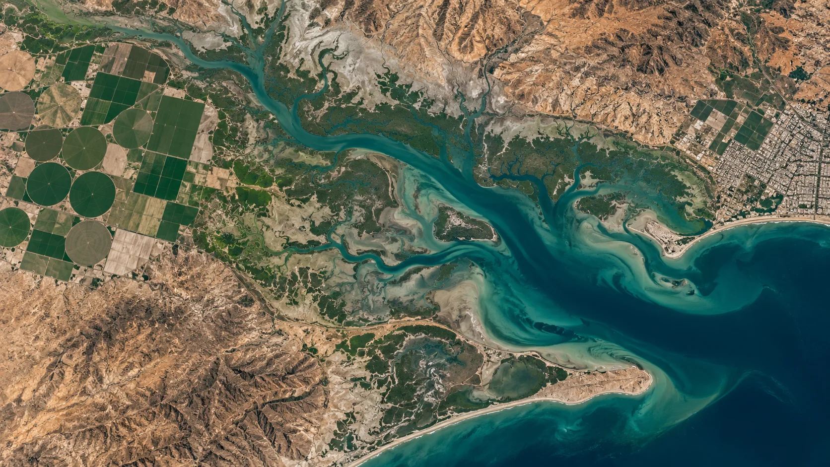
A NEW PERSPECTIVE STARTS HERE
Satellite imagery.
See the possibilities.
Bring your world into focus. Explore satellite imagery for your location, your timeline and your next big decision.
Recent imageryArchive requestsGeoTIFF guidance
Illustrative Earth visualization · Not a live feed
SCROLL TO EXPLORE
YOUR WORLD. A WIDER VIEW.
DATA WITH A WIDER PERSPECTIVE
Transform Your Data into
Powerful GeoTIFF Solutions
GeoTIFF and geospatial data for businesses, engineers and researchers.
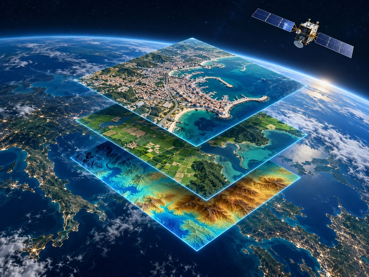
Illustrative geospatial layers · Not a live data product
At Zam Zam Satellite, we help you explore satellite imagery and GIS-ready data for your projects. Define your area, observation dates and technical requirements to find the right starting point.
01
Data Layer
Explore suitable optical or radar imagery and GIS-ready formats. Source compatibility is confirmed per request.
02
Vision AI
Start AI workflows with suitable imagery inputs. Enhancement and detection requirements are scoped separately.
03
Analytics
Compare suitable observations for land-use patterns, urban growth and environmental context.
04
Secure Platform
Define your delivery, access and hosting requirements. Confirm the available arrangements before ordering.
SensorsOptical or SAR, subject to source availability
Search speedDepends on the platform and query
Data flowAcquisition dates and delivery agreed per order
LET’S MAKE IT SIMPLE
Your project.
The right starting point.
Choose what you need. We’ll help you define the next step.
WHAT ARE YOU LOOKING FOR?
Start with your location and timeline.
Tell us your area and latest acceptable capture date. Availability and delivery depend on the imagery source.
SPACE DATA. REAL-WORLD QUESTIONS.
A world of possibilities.
Explore how suitable satellite imagery can support the work you do.
Visuals are illustrative. Dataset suitability and permitted use are confirmed per request.
SATELLITE IMAGERY IN CONTEXT
Operational Use Cases
Different sectors. A shared need for the right observation.
MARITIME & PORTS
Maritime Security
Explore suitable imagery for coastal and port-area context. Vessel tracking or AIS integration requires a separately confirmed scope.
- Port-area observations
- Coastal change comparisons
- Infrastructure context
SMART CITIES
Smart Cities
Support urban planning questions with imagery from suitable dates and resolutions.
- Urban growth comparisons
- Land-use context
- Infrastructure planning
ENVIRONMENT
Environment
Observe land and water patterns using suitable satellite observations.
- Water-extent comparisons
- Land-cover observations
- Historical landscape review
DEFENSE
Defense & Security
Discuss imagery for authorized geospatial review. Scope, data-use rights and any required approvals must be confirmed.
- Historical imagery context
- Infrastructure observations
- Permitted-use review
Examples describe potential imagery applications. Availability, analysis, integrations and permitted use are confirmed for each project.
ONE PLANET. MANY QUESTIONS.
What do you need
to understand?
Explore how satellite imagery can support different kinds of work.
EARTH / A CLOSER LOOKIllustrative landscape · Not a live feed01 / AGRICULTURE
SELECT A PERSPECTIVE A broader view of your land.
Explore imagery for vegetation patterns, field boundaries and comparisons across acquisition dates. Ground observations remain essential.
Explore the application ↗FROM YOUR QUESTION TO YOUR NEXT VIEW
A clear path
to your imagery.
Define your requirements, review the available dataset and purchase through our imagery platform.
01
Define your view
Choose the location, observation window and detail your project requires.
02
Review the dataset
Check capture dates, quality, specifications, licence and delivery conditions.
03
Make your purchase
Complete your order on zamzam.geotiff.ai under the terms shown there.
START WITH YOUR AREA OF INTEREST
Ready for a
different perspective?
Find available imagery on the purchasing platform or tell us about your next project.